


GIS technicians help prepare, maintain and check geographic information used for maps and analysis. When assessing a vacancy, identify the data, applications and review responsibilities involved rather than assuming every role centres on drawing a map.
Reliable spatial work needs clear source information and an understanding of what the data can support. A visually convincing layer can still have the wrong reference, currency or accuracy for the task.
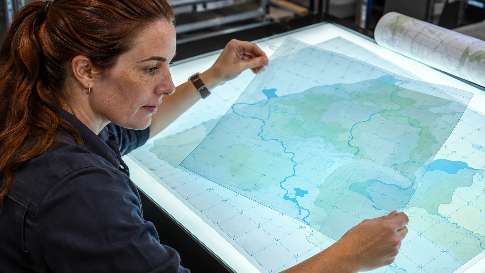
Understand the technical-support work
The ABS geospatial-technician description includes assisting with geographic information systems and spatial data. Actual roles may combine data preparation, maintenance, field information, mapping and quality checks differently.
Check the vacancy for required software, coordinate-reference knowledge, source types and relevant qualifications or experience. Do not assume an occupation description authorises a person to make a cadastral, engineering or navigational determination.
Clarify who reviews outputs and which decisions require a surveyor, analyst, engineer or another competent professional.
Check the data’s meaning and limits
Identify the source, date, relevant reference system, scale or accuracy information and permitted use. Check whether two layers are suitable to compare rather than relying only on their appearance together.
Metadata helps explain those properties. Missing information should lead to a question or limitation, not an invented confidence statement.
For workplace information, use approved storage and access arrangements. Location data can reveal sensitive sites, movements or personal information, depending on its content.
A fictional map exercise
In this invented practice task, a team combines two fictional layers showing office service areas and public facilities. They appear offset when displayed together.
A useful technician’s note identifies the layer versions and available reference information, checks the documented settings within their competence and refers unresolved source questions to the data owner. It does not drag features into a visually convenient position and claim the map is now accurate.
The exercise is not a real map, site assessment or route instruction. It tests how a candidate investigates data quality and communicates uncertainty.
Prepare a spatial-work evidence brief
For an authorised or fictional example, record:
- Question: the mapping or data-maintenance task.
- Sources: relevant layers, currency and permissions.
- Reference: documented spatial basis and information gaps.
- Method: preparation or checking work you performed.
- Quality: validation and review appropriate to the task.
- Limits: uncertainty and uses the output does not support.
- Handover: metadata, output and responsible reviewer.
Do not publish restricted maps or client datasets to demonstrate software ability. Use permitted examples and accurately describe your own contribution.
Match the application to the actual role
Ask about the balance between data maintenance, field support, analysis and customer requests. Clarify the review process and support for unfamiliar datasets or technical questions.
The existing IT roles guide provides broader digital-career context; the vacancy’s GIS requirements remain the basis for your evidence.
A strong application shows how you made spatial information traceable and usable, including the checks and limits behind the map. That is more informative than presenting a polished image without explaining where its data came from.